The Land Before the Record
A Landscape Written in Stone
Long before Vidal became a name on a map, streams, shifting climates, and mineral-rich water were shaping the desert floor. A 1979 study read that slow history in carbonate coatings no thicker than a finger’s breadth.
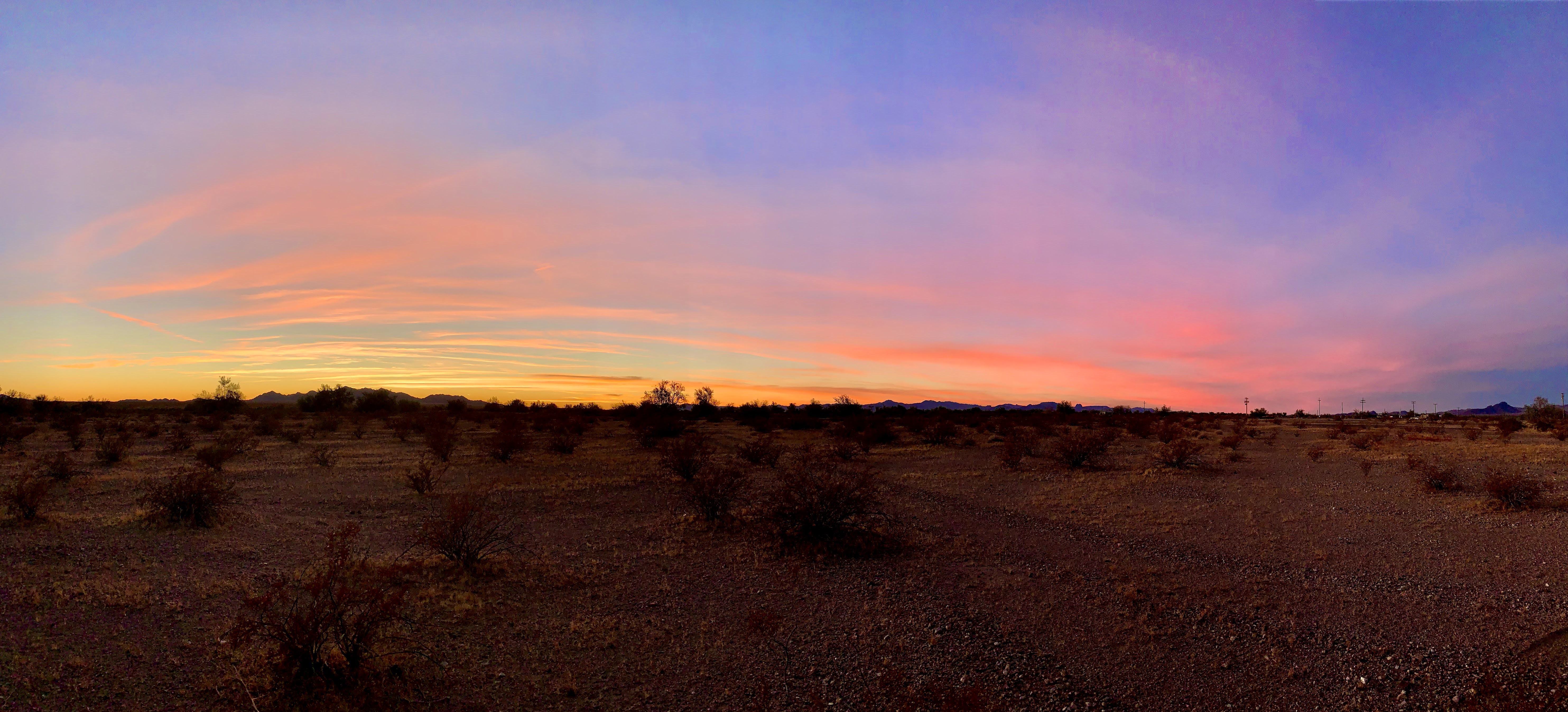
At first glance, the ground around Vidal can seem almost blank: gravel, creosote, a wash running toward the Colorado. But the desert floor is not empty of history. Its broad, gently sloping surfaces preserve traces of rivers that shifted course, climates that grew wetter and drier, and soils that took shape over tens of thousands of years. This is the landscape beneath the human stories told elsewhere in the Vidal archive—not a calendar of people, but the much older stage on which they later moved.
A river writes the land
The study area lies on the arid piedmont south of the Whipple Mountains, between the range and the Colorado River. Vidal receives only about 90 to 100 millimeters of rain in an average year, roughly two-thirds of it in winter. Yet even rare storms, repeated across long spans of time, carry sediment down the washes. At the same time, the Colorado repeatedly cut into its channel and filled it again. Those changes in river level altered the base level of the smaller streams that drain the piedmont, helping create a stairway of distinct alluvial surfaces.
Geologists distinguish seven surfaces in the Vidal sequence, from active wash deposits to old, deeply dissected remnants. Their names—Q4b, Q4a, Q3, Q2c, Q2b, Q2a, and Q1—are shorthand for different episodes of deposition, erosion, and stability. They can be recognized by their position, sediment, desert pavement, and the soils developed on them. The surfaces are not merely scenery: their order records how the Colorado and its tributaries adjusted to changing water levels and climate.
Two climates in one soil
The soils preserve a second kind of evidence. In the paper’s account, the latest Pleistocene was comparatively semiarid; the Holocene that followed was much drier and/or warmer. In the older soils, water moved down through the profile, dissolving calcium carbonate from upper layers and carrying it into deeper ground, where it accumulated in the C horizon. In many younger surfaces, soil development is slight and carbonate is concentrated much closer to the top. The difference is a physical impression of climate change, preserved beneath the gravel.
The Q2b surfaces were especially useful because their broad desert pavements sit above well-developed clay-rich and carbonate-rich soil horizons. Some pavement tracts extend for several kilometers and show little sign of erosion across their undissected interiors. Q2b soil formation spans more than one climatic mode: the wetter or cooler late-Pleistocene conditions built much of the profile, while the drier Holocene modified it only slightly. The result is a layered archive rather than a snapshot of one unchanging desert.
A clock inside a pebble coating
In 1979, Teh-Lung Ku, William B. Bull, S. Thomas Freeman, and Kevin G. Knauss tested whether uranium and thorium isotopes could date the calcium carbonate that soils had precipitated. The method follows radioactive disequilibrium among uranium-238, uranium-234, and thorium-230. Its clock starts when carbonate forms from solution; it does not date the original pebble, the source of the carbonate, or the first moment an entire land surface existed.
That distinction mattered in Vidal’s gravelly soils. The parent material includes sand and gravel derived from schist and gneiss, with andesite and metavolcanic clasts. Carbonate in the soil could come both from older fragments already mixed into the alluvium and from atmospheric dust. Those older mineral grains carry uranium and thorium of their own, potentially distorting the isotope clock. The researchers therefore had to separate the carbonate signal from this detrital material rather than assume every atom in a sample belonged to the soil coating.
The field team looked for dense, compact carbonate built in distinct layers on the undersides of pebbles in the Cca soil horizon. Porous coatings, layers cut by erosion, and coatings split apart by salt were rejected: each could mix carbonate from different episodes or allow younger material to enter. In the laboratory, the team scraped only the innermost two to three millimeters, leached the sample with dilute hydrochloric acid, and measured uranium and thorium in both the dissolved carbonate and the remaining mineral residue. Corrections accounted for detrital contamination.
Eighty-three thousand years, with a margin
The researchers mapped five extensive Q2b surfaces and selected two—identified as U and V—for detailed sampling because their carbonate coatings were relatively thick, dense, and pure. Fourteen samples came from seven pits distributed across the two surfaces, about three kilometers apart. Together, the corrected measurements yielded an average age of 83,000 years, with an uncertainty of plus or minus 10,000 years, for the sampled Q2b carbonate coatings.
A separate analysis of the data, using a different assessment of the relationship between the carbonate and its detrital minerals, produced a compatible common age. The results also fit the relative order suggested by the mapped landforms: older and younger surfaces did not trade places in the dating. The authors were careful, however, about the limits of the evidence. No independent radiometric method was then available for the Vidal area, so the case rested on the samples’ internal consistency, the independent calculation, and agreement with the geomorphic sequence—not a second, unrelated clock on the same surface.
One pebble coating offered an even finer glimpse of accumulation. By dating two layers within it, the team estimated that carbonate had built up at roughly one millimeter per 8,000 years. The figure is not a universal desert growth rate; it belongs to that specimen and to the assumptions of the method. But it makes the scale of the record tangible: a thin mineral rind can represent many millennia of water moving through a soil almost too dry to notice.
What deep time can—and cannot—tell us
The paper’s larger contribution was methodological as well as local. With careful sample selection and correction, it showed that carbonate in arid-zone soils could be dated across a span ranging from a few thousand years to about 350,000 years—well beyond the useful reach of radiocarbon dating for these materials. It also demonstrated why a desert soil cannot be treated as a simple, sealed container: mineral impurities, episodes of erosion, salt splitting, and repeated climate shifts all complicate the reading.
The 83,000-year result is therefore a date for carbonate precipitation in selected Q2b soils, not a date for the whole valley, every terrace, or human presence. It does not tell us when the Chemehuevi or any earlier people first came to this country. Instead, it gives the human record a deeper setting: a piedmont already shaped by river movement and climate long before any surviving name, survey, or newspaper account. At Vidal, even the ground beneath the archive has an archive of its own.